

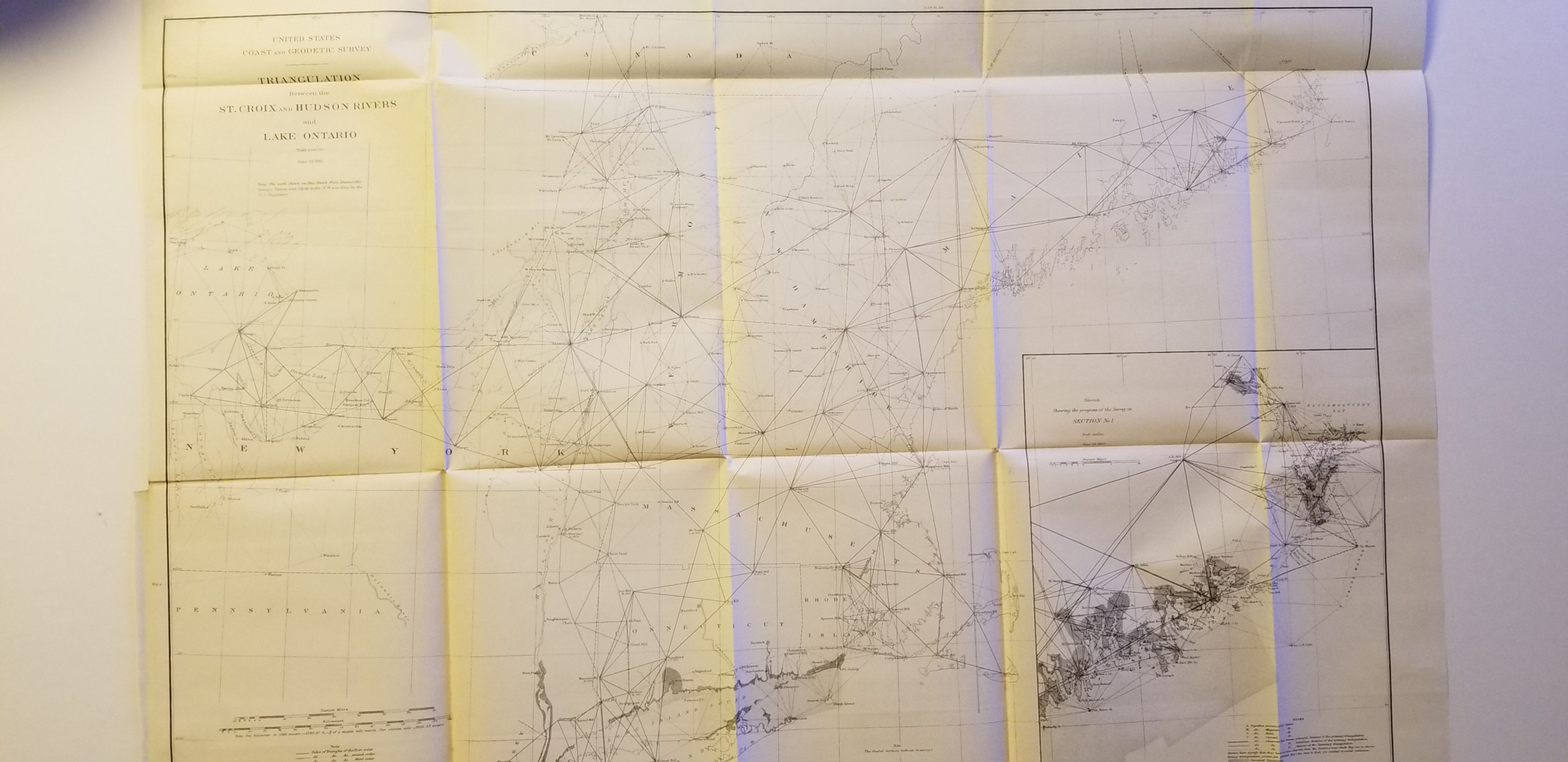

1885 B/W U. S. Geological and Coast Survey map showing the Triangulation Between the St. Croix and Hudson Rivers. Detailed map, nicely printed on solid paper, very light age toning, no browning, may have some slight separation at fold corners.
USCGS Triangulation Between the St. Croix and Hudson Rivers
SKU: 78
$40.00Price
Plate 3, Triangulation Between the St. Croix and Hudson Rivers and Lake Ontario


