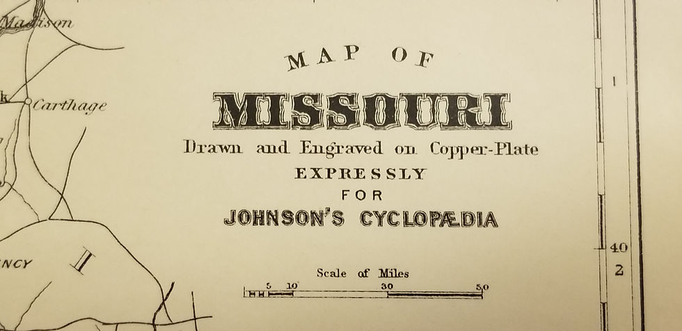
B/W folding chart showing the Progress of the Triangulation between West Virginia and Eastern Missouri. The map and shows the main lines of triangulation made along the 39th parallel spanninbg West Virginia, Kentucky, Ohio, Indiana, Illinois, Missouri during the year ending in June 30th, 1893.
Triangulation between West Virginia and Eastern Missouri, 1893
SKU: 181
$50.00Price