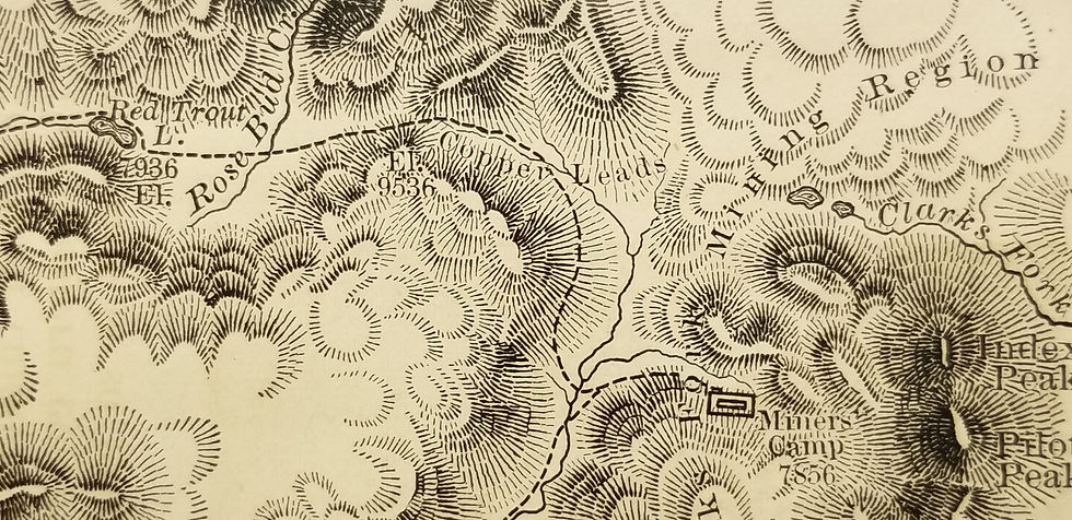
Scarce B/W map from the Hayden Survey detailing the area of Henry Lake, from the Madison River and Cliff Lake to Red Rock Lake, in today's Yellowstone N.P. Three folds, as issued.
Sketch of Lake Henry, the Sources of the Snake River
SKU: 000004
$80.00Price
Sketch of Lake Henry, the Sources of the Snake River
1873. Washington: Government Printing Office From F. V. Hayden's Sixth Annual Report of the U. S. Geological Survey of the Territories
Gustavus B. Bechler
13 x 10.25
Excellent. Slight moisture line at top, outside map image.
United States, West, Wyoming, Hayden survey, Lahe Henry, Yellowstone
Unhappy with your product? Buyer's remorse? Return it to us undamaged within 15 days for a full refund.
All items ship FREE via USPS Media Mail. While this economical option can be slow at times, it includes tracking and typically delivery occurs within 10 days. If you prefer speedier delivery of your purchase, or for overseas addresses, we will calculate any additional charges.