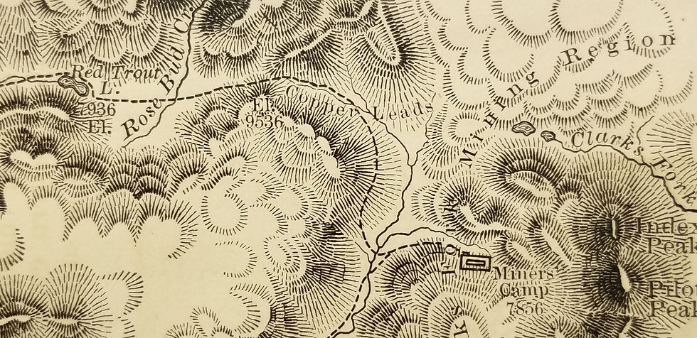
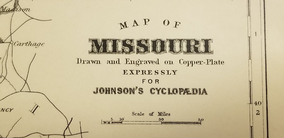
Title notwithstanding, this 1852 B/W map is centered on today's South Dakota, in the area of badlands that is today Badlands N.P. North is to the right of the map, and the area spans the region between the Missouri and the Black Hills, with the White River streaming through the center, and the South Platte visible in the SW corner of the map, where For Laramie is marked.
Map Showing the Position of the Bad Lands or Mauvaises Terres of Nebraska
SKU: 60
$90.00Price