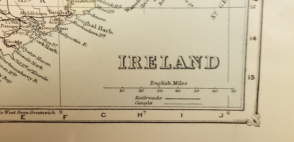
Attractive one page hand-colored map of Map of Prussia, Denmark, Holland, and Belgium from the 1871 edition of Francis McNally's Improved System of Geography. Light coloring, shows highest peaks along a line on the bottom margin.
Map of Prussia, Denmark, Holland, and Belgium, F. McNally, 1871
SKU: 166
$40.00Price